Lower the cost of every claim
Send adjusters only where the imagery shows real damage. Remote assessment replaces many site visits, and response teams can be mobilised against predicted impact before the first claim arrives.
A NatCat claims processing platform that supports insurers in managing claims after natural catastrophes.
In progress
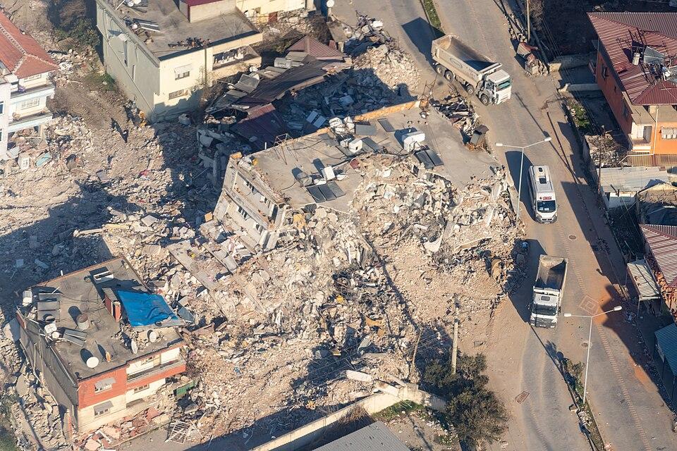
Smart Sat turns satellite imagery into a claims ready damage assessment, not just a picture to interpret yourself. A pre event image establishes what a property looked like before loss occurred. A post event image, captured as soon as satellite passes allow, shows what changed. Smart Sat compares the two, identifies what is different, and delivers a structured assessment of the damage, giving claims teams a clear answer within hours of an event rather than a raw image and a guess.
This is not a general purpose imagery tool adapted for insurance after the fact. Every part of how Smart Sat is being shaped, what gets tasked, how often, at what resolution, and how the assessment is structured, is being built around how claims and underwriting actually work, because that is the only way this kind of capability earns its place in a real workflow rather than sitting unused alongside it.
Smart Sat is designed to sit alongside Smartek's existing platforms rather than as an isolated add-on. Findings link directly into the risk and claims records already held in the Smartek Reinsurance Platform and the Takaful platform, so a damage assessment from Smart Sat becomes part of the same record an underwriter or claims handler is already working from, not a separate report they have to go find.
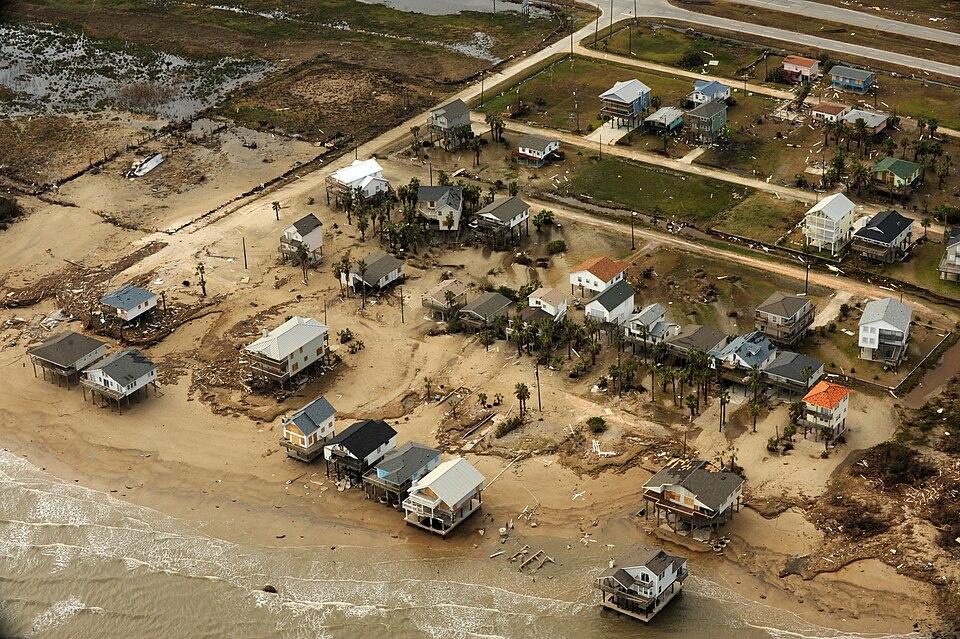
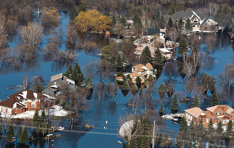
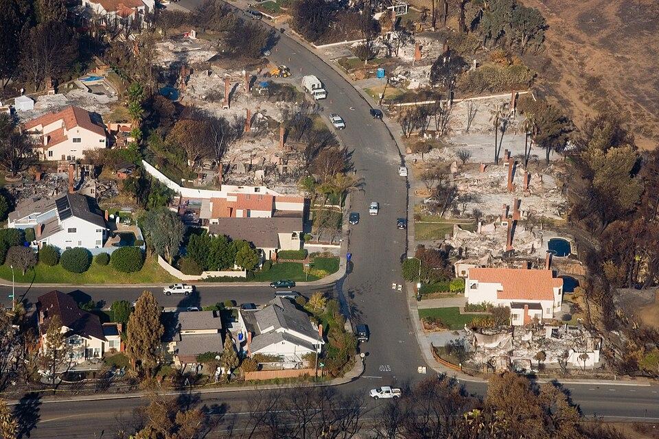
When a storm, flood or wildfire hits, the first days decide the cost of the event. Smart Sat gives claims teams the picture they need before the phones start ringing.
Send adjusters only where the imagery shows real damage. Remote assessment replaces many site visits, and response teams can be mobilised against predicted impact before the first claim arrives.
Triage by severity so serious losses are not left to grow while claims queue. Independent before and after images of each property give a clear basis to challenge inflated, fraudulent or disputed claims.
Contact affected policyholders first, often before they call you. Remote triage and inspection move claims from first notice to settlement faster, at the moment service matters most.
A baseline image of the property is pulled from existing archive imagery, and a fresh image is tasked as soon as satellite access allows after an event.
The two images are precisely aligned, so the same physical point on the ground is being compared in both, and analysed for what has genuinely changed.
Changes are assessed and scored for what kind of damage is present and how severe it is, not just flagged as “something is different.”
The finished assessment is delivered straight into the risk or claims record it belongs to, ready for a claims handler or underwriter to act on immediately.
Pre and post event imagery gives claims teams an early, objective read on damage extent, often before a formal claim has even been lodged. Rather than waiting for a policyholder to report a loss and an adjuster to be scheduled, imagery can flag likely affected properties the moment a catastrophe event occurs.
Imagery derived damage indicators are cross checked against insured locations with a resolvable coordinate, so it becomes possible to identify, within a single view, which specific properties sit inside an affected footprint following a flood, storm, wildfire, or other catastrophe event, and which do not.
Property condition and surrounding risk factors visible from imagery, roof condition, proximity to flood plains or tree cover, surrounding land use, supplement the information gathered during underwriting, particularly for locations that are costly, remote, or otherwise difficult to inspect in person before a policy is bound.
Before and after imagery gives claims teams an independent, third party reference point when the extent of reported damage needs to be verified, reducing reliance on self reported accounts alone and giving a documented basis for claims decisions.
Following a large scale event, imagery makes it possible to see at a glance which properties show visible damage and which do not, so adjuster time and resources can be directed to the highest priority claims first rather than worked in the order they happen to arrive.
Smart Sat starts with single location monitoring, individual insured properties assessed one at a time. Portfolio wide monitoring across an entire treaty or account is the next capability being built, and it's designed around a real constraint rather than a clean assumption: location schedules for a treaty typically arrive as unstructured documents from brokers and cedants, not tidy spreadsheets. Rather than asking anyone to re-key that data by hand, Smart Sat reads those documents directly and extracts the location detail automatically, growing treaty by treaty as schedules are processed.
No damage assessment reaches a risk record automatically. Every AI generated result is reviewed and approved by a person before it becomes part of the official record, the same discipline already used for supervisor review elsewhere in the underwriting workflow. Smart Sat is built to make claims and underwriting teams faster, not to make decisions unsupervised.
Hosted on enterprise cloud infrastructure, with UK data residency, consistent with the rest of the Smartek platform.
Enterprise grade access controls and an active, ongoing security assurance programme, so imagery and the risk data it connects to are handled with the same rigour as every other part of the platform.
Tasking priority, revisit frequency, and resolution are being shaped around claims and underwriting requirements from day one, catastrophe response speed, property level detail, and integration with existing risk records, rather than adapted from a generic Earth observation package after the fact.
Designed to integrate with the systems already in use, including direct linkage to existing risk and claims records, so imagery findings become part of the workflow rather than a separate system to check.
Insurers who can assess damage within hours of an event, rather than days, respond faster, allocate adjusters more effectively, and give policyholders a materially better experience at the exact moment it matters most to them. The gap between a catastrophe event happening and a claims team understanding its actual impact on the book is where the most avoidable delay in the entire claims process sits today. Smart Sat is built to close that gap directly, using the same close, hands on approach to building technology that shaped every other platform in the Smartek portfolio.
Tell us about your book and the events you need to respond to, and we'll keep you close to the build.